The company develops customized GIS databases that align with specific client needs, enhancing data management and accessibility.

Tailored GIS Database Solutions
The company develops customized GIS databases that align with specific client needs, enhancing data management and accessibility.
Professional GIS Mapping and Web Mapping Services
TerraTech creates detailed maps and web-based mapping solutions that facilitate spatial analysis and visualization.
In-Depth GIS Training and Ongoing Technical Support
The company offers training programs to equip clients with the necessary skills to utilize GIS effectively, along with continuous technical support.
GIS Application Development
Custom software solutions that integrate GIS capabilities into existing business processes, enhancing operational efficiency.
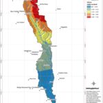
Advanced Analysis and Interpretation of Satellite Imagery
We employ sophisticated techniques to analyze satellite data, providing insights into various environmental and urban dynamics.
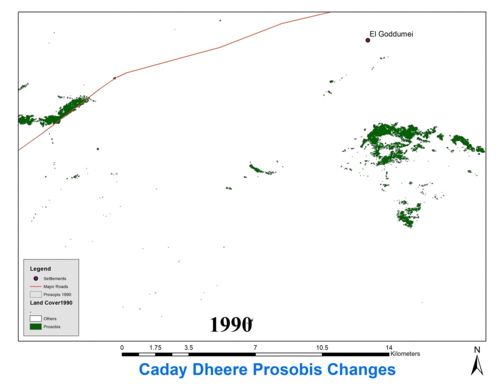
Time Series and Change Detection Analysis
The company conducts analyses that track changes over time, crucial for monitoring environmental shifts and urban development.
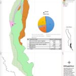
Feature Extraction and Detailed Mapping Outputs
TerraTech specializes in extracting relevant features from remote sensing data to produce comprehensive mapping outputs.
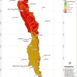
Environmental Monitoring
Utilizing remote sensing data to monitor changes in land use, vegetation cover, and other environmental parameters.


